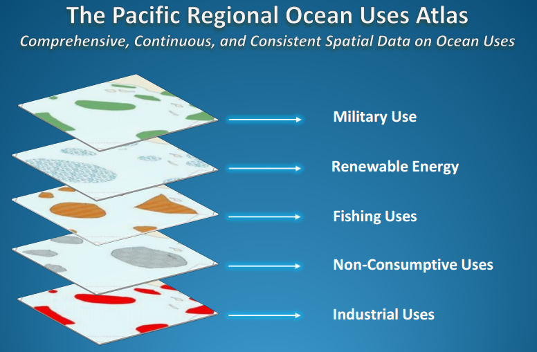
In June 2012, the Pacific Outer Continental Shelf (POCS) Region of the Bureau of Ocean Energy Management (BOEM) issued an interagency agreement with the National Oceanic and Atmospheric Administration (NOAA) to conduct the Pacific Regional Ocean Uses Atlas project (PROUA). The Energy Policy Act of 2005, an amendment to the Outer Continental Shelf Lands Act (OCSLA), granted BOEM lead management authority for marine renewable energy projects on federal offshore lands, and other projects that make alternative use of existing oil and natural gas platforms. The specific objectives of the PROUA are to enhance ocean planning for offshore renewable energy development in U.S. waters. This is to be achieved by documenting at specific geographies, scales and resolutions, patterns of existing and emerging uses of the ocean off Oregon; and, identifying potential use interaction, and/or potential for conflict between anticipated renewable energy activities and other potentially concurring ocean uses.

The PROUA report and map books can be found on BOEM’s website at http://www.boem.gov/Pacific-Completed-Studies/. Downloadable PROUA data, web mapping services, and metadata are available via NOAA’s Digital Coast and the Marine Cadastre (search for “PROUA”). Summary use layers can also be viewed on the Marine Cadastre National Viewer.
The study authors are grateful to all who contributed knowledge, expertise, time, and support to this important effort and hope that you will share these PROUA products with your community, peers and colleagues.
For more information, please contact NOAA Project Lead Mimi D’Iorio at This email address is being protected from spambots. You need JavaScript enabled to view it. or BOEM Project Officer Sara Guiltinan at This email address is being protected from spambots. You need JavaScript enabled to view it..


