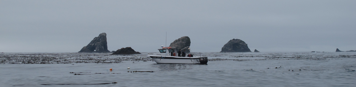


Learn more about the rules within Oregon Marine Reserves and the official boundaries of the five Marine Reserve sites.
Oregon Administrative Rules (OARs)
Site boundary coordinates, prohibitions, and allowances are provided in administrative rules passed by the Oregon Department of Fish and Wildlife (OAR 635-012), Department of State Lands (OAR 141-142), and Parks and Recreation Department (OAR 736-029).
Click here for the complete text of rules: Marine Reserve and Protected Area Rules (OARs) (114 KB PDF)
Rules Summaries: Maps and Coordinates
Click on a site for a map, summary of rules, and boundary coordinates.
Cascade Head Otter Rock Cape Perpetua Redfish Rocks
Download Boundaries
To download boundaries for navigation devices, such as GPS, or mapping programs please click here.
GPS Devices
default GPX File Format (2 KB) - used by most Garmin products
document File Format (1 KB) (.pdf) - for hand entry
*** To ensure accuracy, after uploading to the GPS device, please check the coordinates against the Rules Summaries ***
Mapping Programs
default Google Earth File (20 KB) - download and add to Google Earth "My Places"
default ArcGIS Layer Package (42 KB) - polygon boundaries
Navigation Systems
Instructions (528 KB) - for installation on Maptech, Rose Point, Nobeltec, Odyssey, and P-Sea Windplot programs
Boundaries.zip File (277 KB)
Mobile Devices
FishAlerts!
This mobile app, developed by Great Outdoors Mobile Inc., covers all Marine Protected Areas of the United States and includes boundaries and regulations summaries for Oregon's marine reserves and Marine Protected Areas.
* This mobile app was not developed by or for ODFW
![]()
Download the app: