Get Involved in the Rocky Shores Update
Email written comments to This email address is being protected from spambots. You need JavaScript enabled to view it. |
Offer oral comment during a Working Group meeting.
Public comment is scheduled into meeting agendas.
Meeting Protocol for Public Comment
To allow the Working Group to have efficient discussions during meeting:
|
Offer comment during a formal comment period Once the Working Group has reviewed submitted site proposals, a formal 30-day public comment period will be opened. Check back here or sign up for email updates for information about public comment opportunities and events. |
|
If you have a question or if you are affiliated with a group requiring government consultation please contact the Working Group
chair person or staff member.
Charlie Plybon (Chair) - This email address is being protected from spambots. You need JavaScript enabled to view it.
Michael Moses (Staff) - This email address is being protected from spambots. You need JavaScript enabled to view it.
|
*Please note that due to the complexity of this process not all public comments may be incorporated into the final strategy.
Phase 2 (archive)
Phase 2 products (updated Rocky Habitat Management Strategy text, site-based management processes, and new Rocky Habitat Web Mapping Tool) were completed and approved by the Ocean Policy Advisory Council on May 6, 2020.
Read the approved draft of the Rocky Habitat Management Strategy.
Visit the Rocky Habitat Web Mapping Tool (Oregon.Seasketch.org)
Phase 1 (archive)
2018 Public Scoping (archive)
In Spring of 2018, DLCD staff conducted 9 public scoping meetings to gather initial information and public opinion on rocky habitat issues and management.
|
Stay Updated
|
Sharing this update opportunity
with others
|
| Subscribe to receive emails with these opportunities. | |
|
|
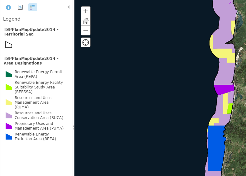
TSP Plan Maps

Resource Inventory Maps
Informed decision making, the heart of Goal 19 and the Oregon Ocean Plan, depends upon adequate information about ocean resources and uses and the effects of any proposed action on those resources and uses. This page contains information about ocean and coastal resource inventories, as well as interactive maps of existing resource inventory information.
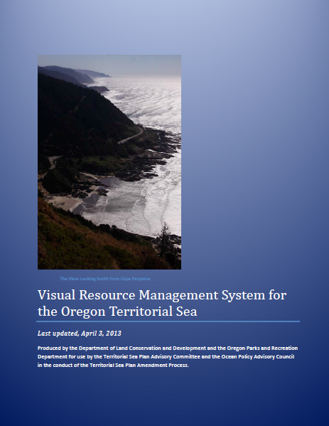
Visual Resources Management System for TSP Part Five
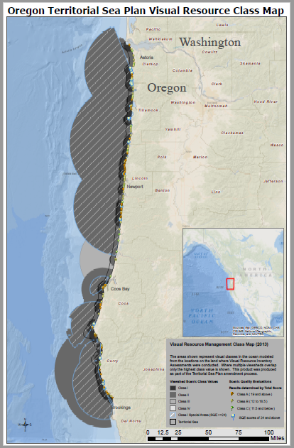
The Oregon Coast is an internationally recognized tourist destination that attracts over 20 million (in 2011) visits to coastal state parks a year. In 2013, the state agencies with responsibility for managing the territorial sea completed an ambitious project to establish a Visual Resources Management System for the Territorial Sea Plan. The map below shows the locations where the viewshed of the coast were measured from publicly available locations, and then used to project into the ocean areas where development standard would be applied to any new application for development. The map below shows the Scenic Quality Visual Resource Inventory Assessment Locations and their resulting Class Values. Information regarding the development of methods and standards for project review are available in a pdf slideshow presentation (735 KB) (PDF).
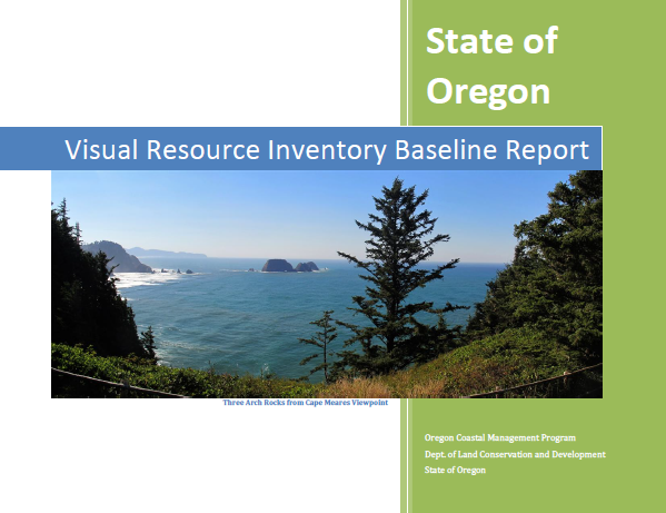
Click the image below to download the completed baseline inventory report of sites.
The datasheet and class criteria are available for viewing here: pdf TSP VRIA datasheet, June 2012 (297 KB)
TSP Rocky Habitat Proposal Further Evaluation Workshops
TSP Rocky Habitat Proposal Further Evaluation Workshops


