


What is the Territorial Sea Plan?
The State of Oregon holds the waters, shoreline, and living resources of its shoreline in trust for the public. The state has therefore established in law a program of planning and management that includes ocean resource goals and policies. The Oregon Territorial Sea Plan (TSP) was first adopted in 1994 and provides detailed guidance to state and federal agencies to manage uses within the state’s territorial sea, from shore to three nautical miles offshore. State ocean resources are governed by a tapestry of authorities at multiple government scales, and the TSP acts as a coordinating framework from which individual agencies institute regulations and management activities.
The Ocean Policy Advisory Council (OPAC) was given the responsibility of stewarding the TSP, in conjunction with the Oregon Land Conservation and Development, when necessary to deal with new concerns as they occur.

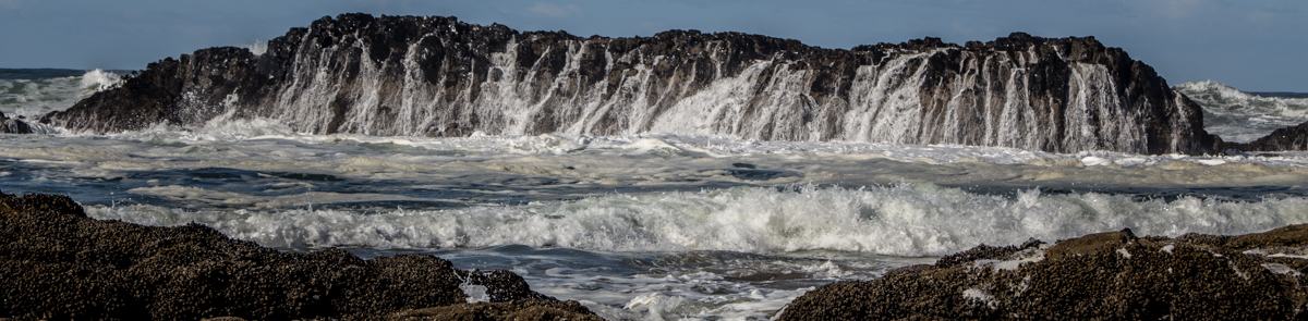
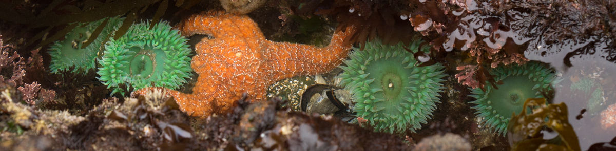
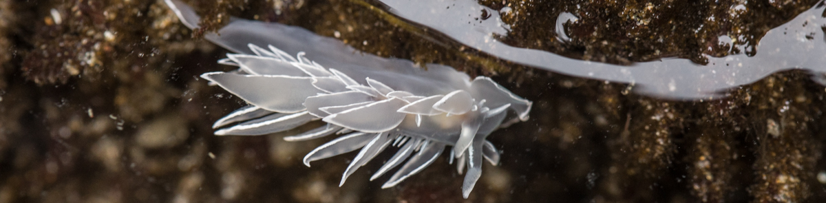
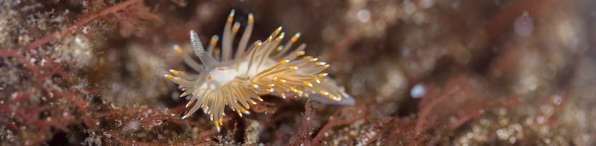
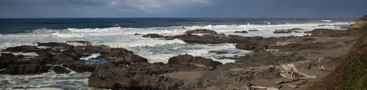
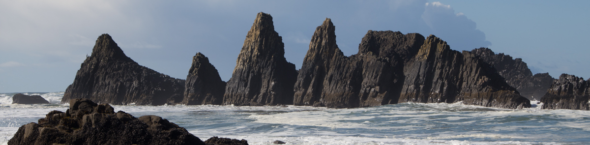
Updating the Rocky Habitat Management Strategy, May 2023
These designations completes a multiple year effort led by the Ocean Policy Advisory Council to revise the Management Strategy and was focused on site management designations along areas of Oregon’s iconic rocky shoreline. The effort included extensive input from agencies, organizations, governments, and general rocky coast users on revisions to the Plan.
 |
Read more: Updating the Rocky Habitat Management Strategy, May 2023
Plan History
In 1991 the Oregon Legislature amended ORS chapter 196 to establish the Ocean Policy Advisory Council (OPAC) made up of a variety of ocean stakeholders, local governments, and state agencies, and charged it with providing the governor and state agencies with policy advice on ocean matters. The legislation gave the Department of Land Conservation and Development (DLCD), which includes the state’s federally-approved coastal management program, primary responsibility for ocean planning and providing assistance to OPAC. One of OPAC’s basic duties was to prepare a Territorial Sea Plan (TSP) for managing the resources and activities in the state's territorial sea. Click here to view the folder Oregon Territorial Sea Plan .
Click the "read more" button below to learn more about the history of the Territorial Sea Plan.
Territorial Sea Plan Part Five: Marine Renewable Energy Development
Part Five of Oregon's Territorial Sea Plan describes the process for making decisions concerning the development of renewable energy facilities (e.g. wind, wave, current, thermal, etc.) in the state territorial sea, and specifies the areas where that development may be sited. The requirements of Part Five are intended to protect areas important to renewable marine resources (i.e. living marine organisms), ecosystem integrity, marine habitat and areas important to fisheries from the potential adverse effects of renewable energy development (facility siting, development, operation, and decommissioning). Part Five provides a system to identify the appropriate locations for that development which minimize the potential adverse impacts to existing ocean resource users and coastal communities.

Read more: Territorial Sea Plan Part Five: Marine Renewable Energy Development
Get Involved in the Rocky Shores Update

Email written comments to This email address is being protected from spambots. You need JavaScript enabled to view it. |
Offer oral comment during a Working Group meeting.
Public comment is scheduled into meeting agendas.
Meeting Protocol for Public Comment
To allow the Working Group to have efficient discussions during meeting:
|
Offer comment during a formal comment period Once the Working Group has reviewed submitted site proposals, a formal 30-day public comment period will be opened. Check back here or sign up for email updates for information about public comment opportunities and events. |
|
If you have a question or if you are affiliated with a group requiring government consultation please contact the Working Group
chair person or staff member.
Charlie Plybon (Chair) - This email address is being protected from spambots. You need JavaScript enabled to view it.
Michael Moses (Staff) - This email address is being protected from spambots. You need JavaScript enabled to view it.
|
*Please note that due to the complexity of this process not all public comments may be incorporated into the final strategy.
Phase 2 (archive)
Phase 2 products (updated Rocky Habitat Management Strategy text, site-based management processes, and new Rocky Habitat Web Mapping Tool) were completed and approved by the Ocean Policy Advisory Council on May 6, 2020.
Read the approved draft of the Rocky Habitat Management Strategy.
Visit the Rocky Habitat Web Mapping Tool (Oregon.Seasketch.org)
Phase 1 (archive)
2018 Public Scoping (archive)
In Spring of 2018, DLCD staff conducted 9 public scoping meetings to gather initial information and public opinion on rocky habitat issues and management.
|
Stay Updated
|
Sharing this update opportunity
with others
|
| Subscribe to receive emails with these opportunities. | |
|
|

TSP Plan Maps
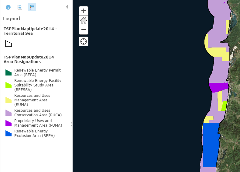 View maps of the Territorial Sea, with layers that can be interactively switched on, including maps of: Part III Rocky Shores, Part IV Cables, and Part V Marine Renewable Energy Area Designations Map.
Resource Inventory Maps
Informed decision making, the heart of Goal 19 and the Oregon Ocean Plan, depends upon adequate information about ocean resources and uses and the effects of any proposed action on those resources and uses. This page contains information about ocean and coastal resource inventories, as well as interactive maps of existing resource inventory information.
More Articles ...
TSP Rocky Habitat Proposal Further Evaluation Workshops
TSP Rocky Habitat Proposal Further Evaluation Workshops