


This page contains information on seafloor mapping activities and data.
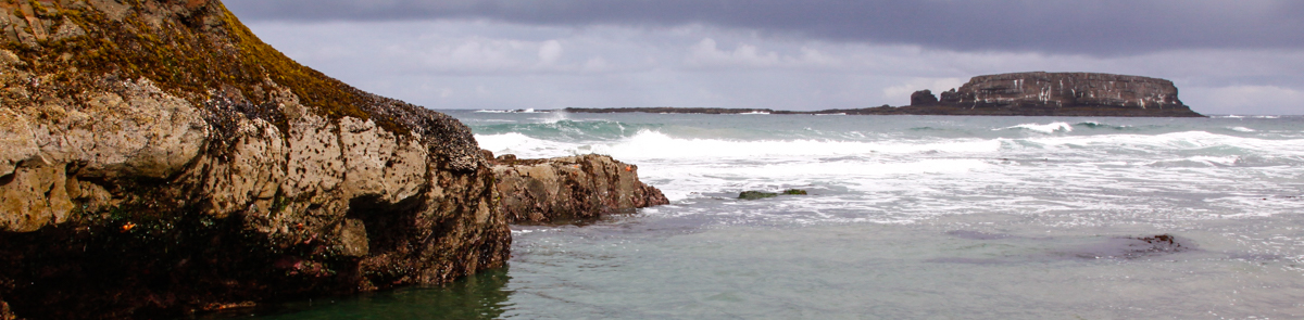
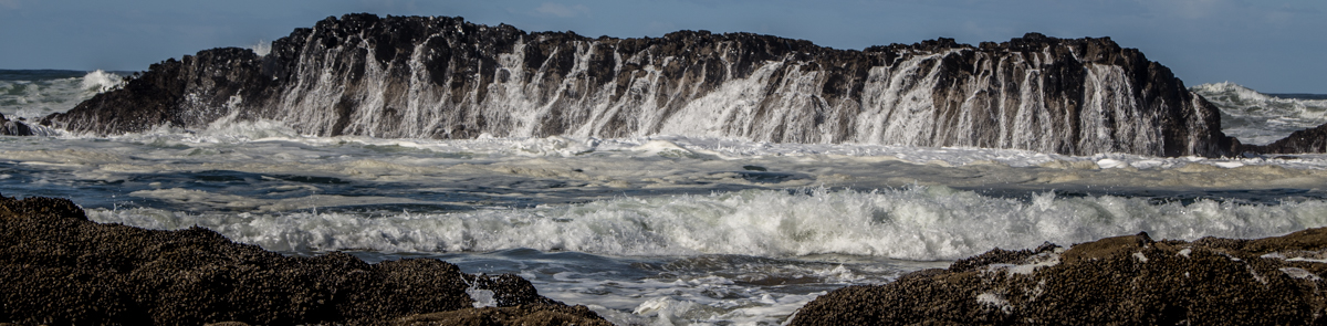
Seafloor mapping is a critical input to many ocean management issues, including tsunami modeling, wave energy siting, and marine reserves planning and management. Seafloor mapping is also the fundamental starting point for modeling nearshore fish populations for both the Federal Essential Fish Habitat process and State fisheries management. Seafloor mapping data provide the basis for modeling ocean circulation, currents, waves, and sediment transport, which are important to better understand coastal erosion mechanisms and develop mitigation strategies. Finally, high-resolution seafloor mapping data supports safe navigation and maritime commerce as well as providing base map data for engineering, scientific, and commercial activities.
(Source: Presentation to the West Coast Governors' Agreement on Ocean Health by Chris Goldfinger, Oregon State University)
NOAA Topographic & Bathymetric Data Inventory
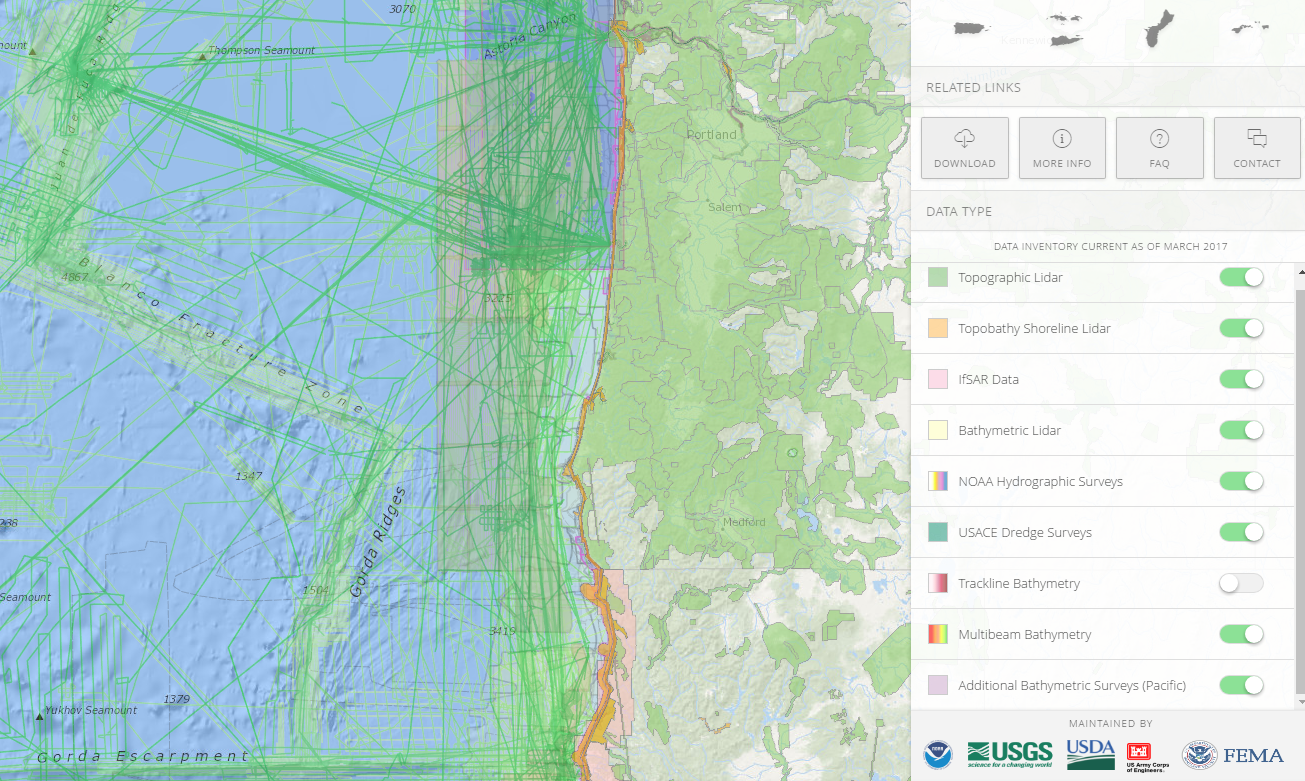
https://coast.noaa.gov/inventory/
The U.S. Interagency Elevation Inventory is a comprehensive, nationwide listing of known high-accuracy topographic and bathymetric data for the United States and its territories.
Oregon State Waters Mapping
The Oregon State University Active Tectonics and Seafloor Mapping Lab maintains an Oregon State Waters Mapping Program, which is an outgrowth of a Seafloor Mapping Task Force formed at Oregon State University in 2006. This group met on numerous occasions through 2007 and 2008 to discuss the needs for nearshore mapping with state legislators, biologists, geologists and members of coastal communities to develop the proposal. Presentations were made to the Joint Committee on Emergency Preparedness and Ocean Policy on four occasions, and to the State Land Board. Further discussions were held with the Department of Land Conservation and Development, DOGAMI, ODFW and others about the needs and application to the missions of these agencies. Discussion and questions about tsunami modeling, wave energy siting, and marine reserves and the needs for basic seafloor data were addressed at these meetings.
In 2008, detailed bottom mapping existed for only about 5% of the area of the Oregon Territorial Sea, which extends 3 nautical miles from the coast and comprises approximately 950 square nautical miles. Effective decisions concerning the management and conservation of ocean resources in accordance with Department of State Lands Strategic and Asset Management Plans depend upon better knowledge of nearshore waters. To address this problem the Oregon Department of State Lands initiated a seafloor mapping program within Oregon’s Territorial Sea.
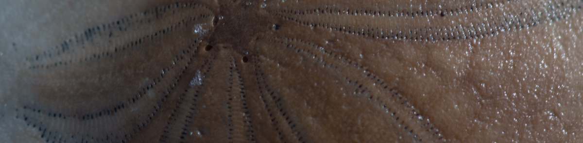
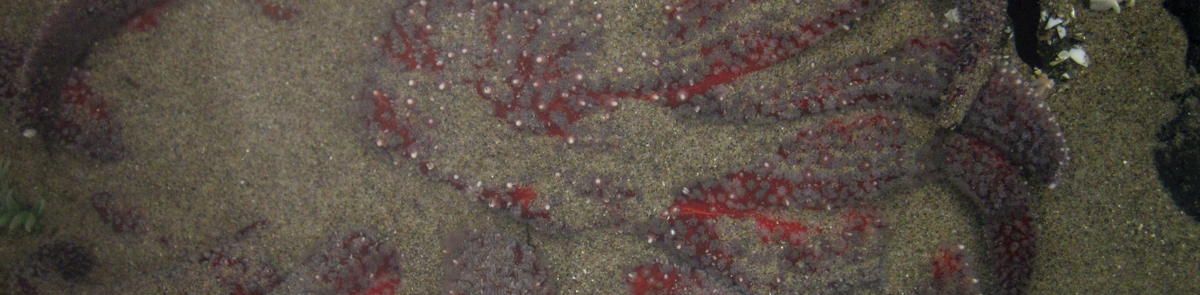
The State Waters Mapping Program Downloads Page hosts numerous data products related to the seafloor off the coast of Oregon, including bathymetric maps, backscatter/sidescan sonar images, and seafloor habitat maps.