About
Boiler Bay is a Marine Research Area
The Boiler Bay Marine Research Area includes all rocky areas, tidepools, and sand beaches situated between extreme high tide and extreme low tide. The area lies between a line projected due west from the mouth of Fogarty Creek, on the north, and a line projected due west from the westernmost tip of Government Point at Boiler Bay State Wayside on the south.
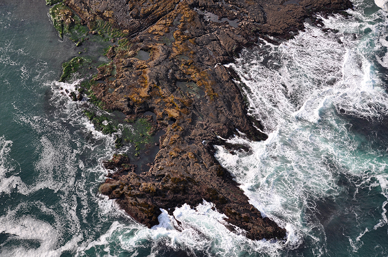
The Boiler Bay rocky shore cell is made up of approximately 2.7 miles of intertidal habitat located about two miles north of Depoe Bay in Lincoln County, Oregon. Boiler Bay is made up of a mix of substrate types and wave exposure regimes including boulder fields and bedrock platforms, resulting in a rich intertidal assemblage of marine plants and animals.
Boiler Bay was recommended as a Research Reserve in the 1994 Territorial Sea Plan and was designated as such in 2019. In 2021, the designation was revised to be a Marine Research Area.
Features
Key Resources
Boiler Bay is home to many seabirds and seabird colonies like shearwaters, jaegers, albatrosses, grebes, pelicans, loons, oystercatchers and murrelets. The research area features pinniped haulouts and a diversity of tidepool organisms. In addition to rich natural resources, the area is also characteristic of a historic, cultural resources. In 1910, the J. Marhoffer ship was sunk by an explosion. The old boiler from the sunken ship is visible at low tide, giving the bay its namesake.
Site Uses
There are high visitation rates to Boiler Bay because of the proximity to the Boiler Bay State Scenic Viewpoint. Typical activities at Boiler Bay include scientific research, educational activities, whale watching, bird watching, sport fishing from shore, and tidepooling.
Access
Parking is limited in this area. There is no direct access or incorporated trail to intertidal area from Boiler Bay State Scenic Viewpoint.
Management
Site Management
Wildlife found at Boiler Bay Marine Research Area is managed by Oregon Department of Fish and Wildlife (ODFW). Oregon Parks and Recreation Department (OPRD) manages Boiler Bay State Scenic Viewpoint (SSV) on the bluff above the south side of the bay. Boiler Bay SSV is part of OPRD Area 1 and the Beverly Beach Management Unit. View the Management Unit Master Plan here.
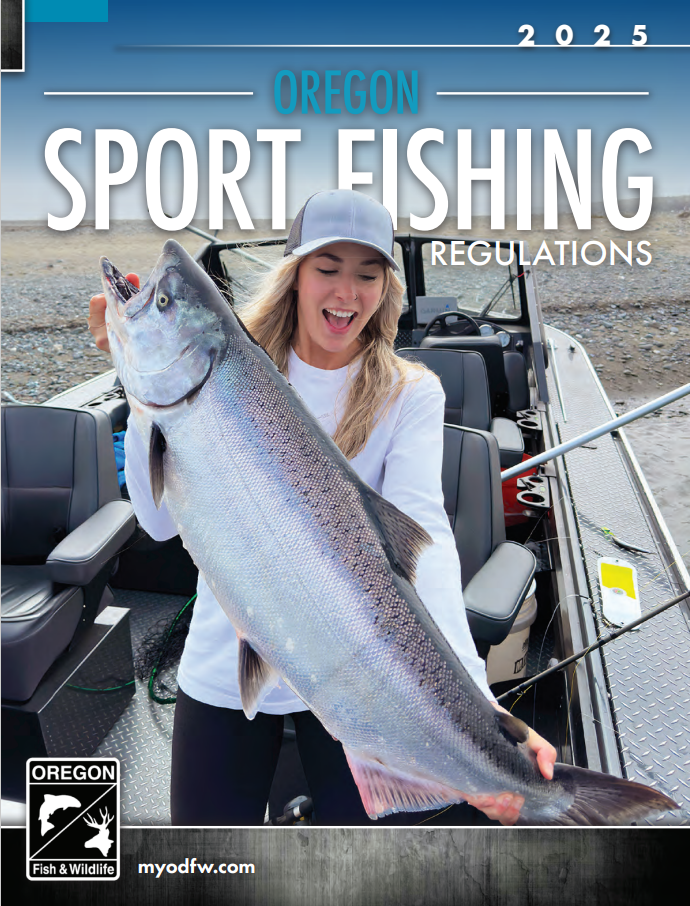
Always check the Oregon Department of Agriculture Shellfish Safety page for recreational shellfish biotoxin closures in your region before collecting. For more information on shellfish regulations and licenses, visit the Oregon Department of Fish and Wildlife. The digital 2025 Oregon Sport Fishing Regulations book is available here. More information about scientific research permits from OPRD are available here.
Regulations
There are seven designated Marine Research Areas (MRA) in Oregon in rocky intertidal and subtidal areas. ODFW’s MRA regulations vary by site and are designated to limit sport harvest of most invertebrate species and manage scientific/educational take through a permit program (OAR 635-005-0260).
At Boiler Bay MRA, there is no take of shellfish and other invertebrates within the intertidal except for clams, Dungeness crab, red rock crab, mussels, piddocks, scallops, and shrimp may be taken. Sport fishing is allowed in Marine Research Areas. No collection of marine plants is allowed within the ocean shore in these areas, except by scientific research permit from OPRD (OAR 736-021-0090).
Regulations apply inside the site boundary: Intertidal between the mouth of Fogarty Creek and the westernmost tip of Government Point at Boiler Bay State Wayside. Boiler Bay MRA overlaps with the Fogarty Creek Marine Conservation Area at the northernmost point of the Boiler Bay MRA. The more stringent rules apply in the area of overlap.
Ownership and Jurisdiction
- Department of State Lands (DSL): Submerged and submersible land, use of the sea floor, removal of marine plants from subtidal habitat
- Oregon Parks and Recreation Department (OPRD): Upland on the south side of Boiler Bay MRA, extreme-low water to the statutory line of vegetation, also responsible for permitting natural product removal (marine plants) from shore and intertidal habitat
- U.S. Fish and Wildlife Service (USFWS): Offshore rocks and islands above mean high waterline that are not connected to land at high tide, protections for birds and mammals
- Oregon Department of Fish and Wildlife (ODFW): Fish and wildlife and their habitats
- Oregon State Police (OSP): enforce fish and wildlife regulations
- Most of the land adjacent to the marine research area is in private ownership.
For more details on agencies and government jurisdiction in the territorial sea, please see the Territorial Sea Plan Part 3: Rocky Habitat Management Strategy, Section C.